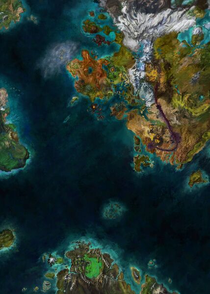
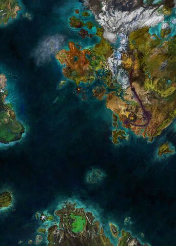
File:Tyria map (unexplored).jpg
From Guild Wars 2 Wiki
Jump to navigationJump to search

Size of this preview: 428 × 599 pixels. Other resolutions: 171 × 240 pixels | 343 × 480 pixels | 548 × 768 pixels | 731 × 1,024 pixels | 1,463 × 2,048 pixels | 8,192 × 11,469 pixels.
Original file (8,192 × 11,469 pixels, file size: 9.65 MB, MIME type: image/jpeg)
Licensing[edit]
.jpg&action=edit§ion=1)
| This screenshot contains property of ArenaNet or NCSoft which is used with permission. The terms of the permission do not include third party use. It is not released under the GFDL. Please see Guild Wars 2 Wiki:Copyrights for further information. |
File history
Click on a date/time to view the file as it appeared at that time.
.jpg&dir=prev)
.jpg&offset=20161221173847)
.jpg&offset=&limit=20)
.jpg&offset=&limit=50)
.jpg&offset=&limit=100)
.jpg&offset=&limit=250)
.jpg&offset=&limit=500)
| Date/Time | Thumbnail | Dimensions | User | Comment | |
|---|---|---|---|---|---|
| current | 09:54, 25 August 2023 | | 8,192 × 11,469 (9.65 MB) | That shaman (talk | contribs) | Horn of Maguuma |
| 10:58, 3 March 2022 |  | 8,192 × 11,469 (10.05 MB) | That shaman (talk | contribs) | End of Dragons | |
| 14:08, 8 August 2018 |  | 4,096 × 4,096 (3.64 MB) | That shaman (talk | contribs) | Labyrinthine Cliffs update | |
| 10:03, 7 May 2018 |  | 4,096 × 4,096 (3.63 MB) | That shaman (talk | contribs) | Increased resolution | |
| 13:03, 5 May 2018 |  | 1,200 × 1,200 (377 KB) | FanklingAfreet (talk | contribs) | ||
| 19:24, 2 December 2017 |  | 1,200 × 1,200 (465 KB) | Tsafran (talk | contribs) | Provided by ThatShaman - updated with Daybreak Living Story Release Dec 2017 | |
| 04:17, 10 August 2017 |  | 1,200 × 1,200 (1.17 MB) | Konig Des Todes (talk | contribs) | Updating new world map | |
| 05:21, 19 May 2017 | 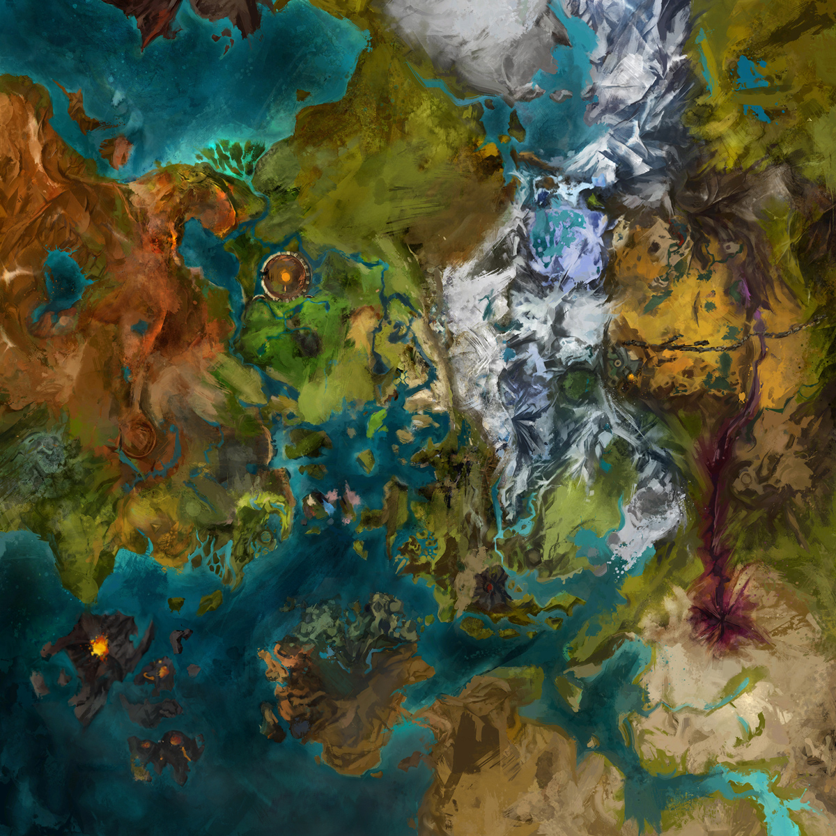 | 1,200 × 1,200 (1.37 MB) | Turdnugget (talk | contribs) | Updated the area of Draconis Mons | |
| 15:32, 10 February 2017 |  | 1,200 × 1,200 (1.14 MB) | Raikiri (talk | contribs) | updated the area of lake doric | |
| 17:38, 21 December 2016 | 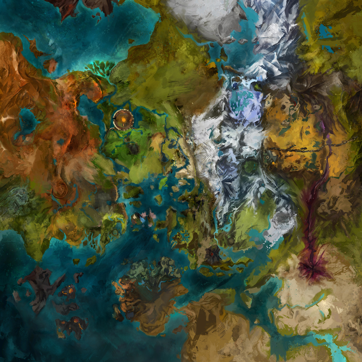 | 1,200 × 1,200 (1.13 MB) | Raikiri (talk | contribs) | ember bay and bitterfrost frontier |
You cannot overwrite this file.
File usage
The following 7 pages use this file:
.jpg&oldid=2721008)
.jpg)
.jpg)
.jpg&action=edit)
.jpg&action=history)
.jpg)
.jpg)
.jpg&oldid=2721008)
.jpg&action=info)
.jpg)
.jpg)
.jpg&mobileaction=toggle_view_mobile)